Mary Sargent © 2006 ………………………….. click to enlarge
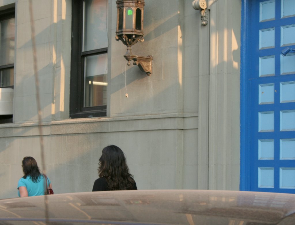
This is the end of 35th Street at Sixth Avenue, where it gets much more crowded.
When I moved to New York in 1982, I was amazed at the use of pay phones here. In Illinois and Michigan, we used pay phones to tell someone something important that had to be said at that moment. I drove the car into a ditch, come get me, is an example. But here, people would get on the phone and say things like, so how's it going? They stood in lines to get the phone. I remember going into the subway and seeing a girl on the phone arguing with her boyfriend, tears streaming down her face. Later, when the price went up to a quarter (this sure sounds quaint), I predicted usage would drop sharply. No way.
But now you may be looking at one of the last documented uses of a black pay phone.
Wednesday, October 18, 2006
Midtown, 35th Street at Sixth Avenue

Tuesday, October 17, 2006
Midtown, 35th Street Between Fifth and Sixth Avenues

Mary Sargent © 2006 ……………........…….. click to enlarge
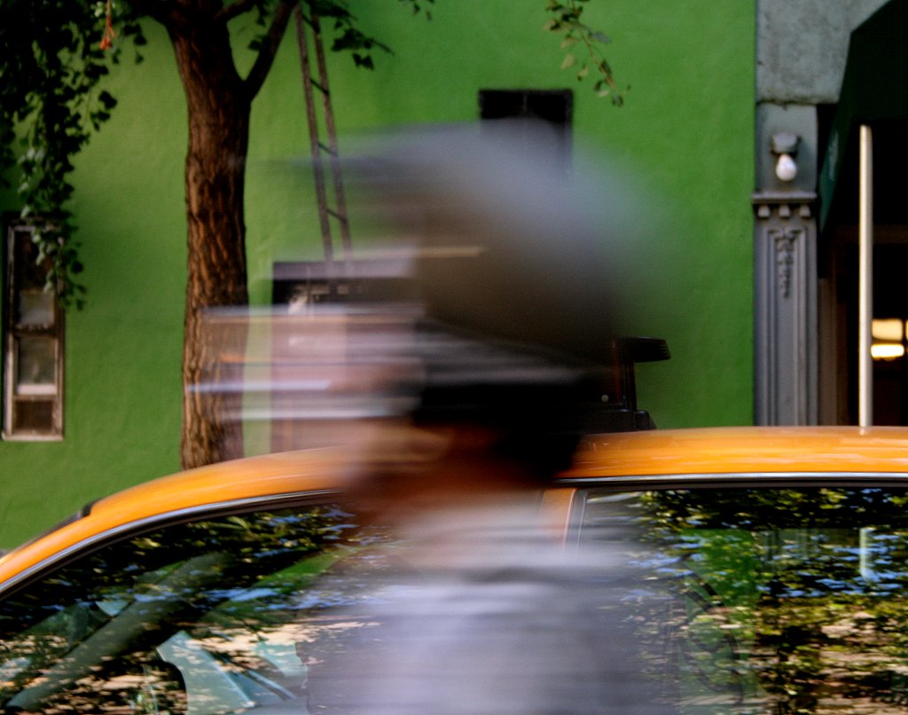
Well, I lost two beautiful walking days last weekend, due to a miserable cold. I didn't leave my apartment the whole weekend. So yesterday, Monday, I desperately needed to shoot, but on my lunch break, I had to go to Staples on 34th to get printer cartridges, so could only manage ONE block: 35th Street between Fifth and Sixth, walking west and then back east, same block.
If I had time, I'd do every block that way; it's surprising how different things look on the other side of the street, walking in the other direction. I ended up with 11 photographs from that one block that I'd like to show, looking like they could each be from a different block. I'll pare it down of course. But here's a good one to start off.
Monday, October 16, 2006
Morningside Heights, Amsterdam Avenue Between 118th and 116th Streets

Sunday, October 15, 2006
Morningside Heights, 120th Street Between Broadway and Amsterdam

Mary Sargent © 2006 …….......……………….. click to enlarge
This is the Columbia School of Engineering and Applied Science. Try to get a look through the front windows to see the tubing hanging down from the ceiling, and the big wheel-like things. A bit primitive? Or do I just not know my applied science?
Saturday, October 14, 2006
Morningside Heights, 120th Street Between Broadway and Amsterdam Avenue
Mary Sargent © 2006 …………..…… ……….. click to enlarge
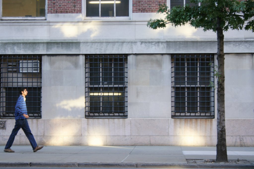
This block is the northern border of the Columbia University complex of classrooms and other college-type buildings, the southern border being 114th Street.
Apologies for the soft focus, but I couldn't resist it (no wait! I WANTED it that way (no, I didn't)). The absolutely perfect distance of the tree from the window frame (which you will only appreciate enlarged), the flares of sunlight, the gridded windows, and the sort of toy-like look of the guy demanded to be shown.
Friday, October 13, 2006
Morningside Heights, Broadway Between 121st and 120th Streets
Thursday, October 12, 2006
Morningside Heights, Broadway Between 121st and 120th Streets
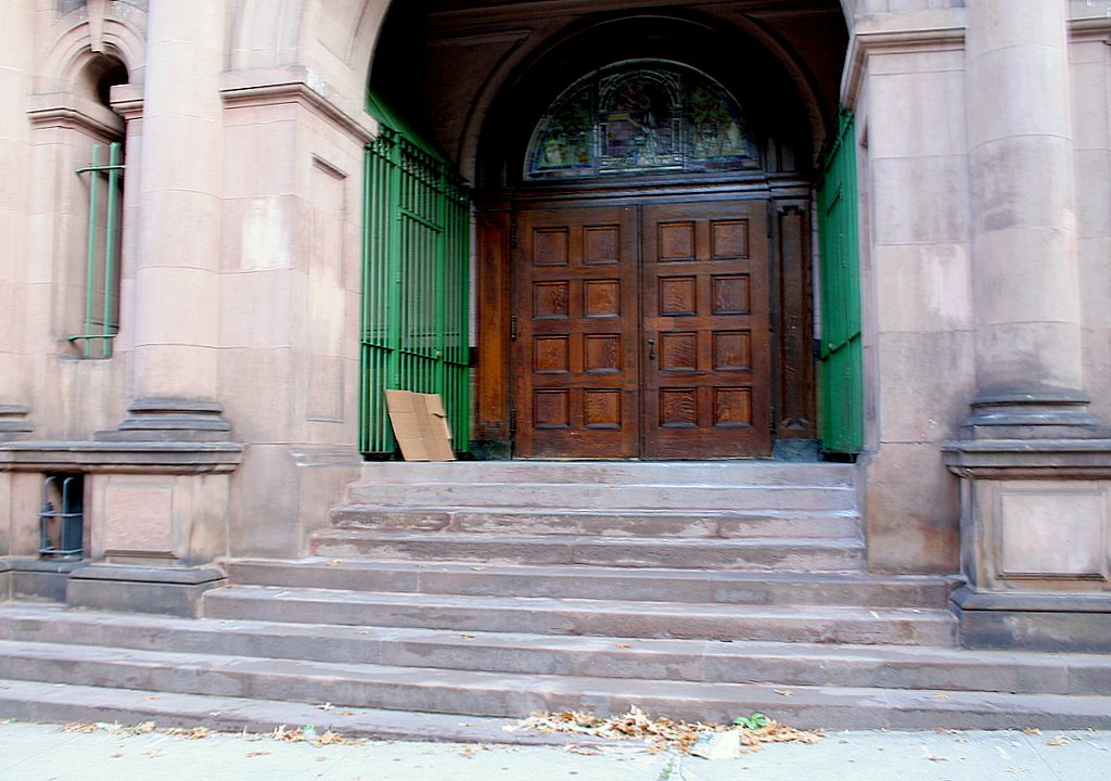
Mary Sargent © 2006 ………....…………….. click to enlarge
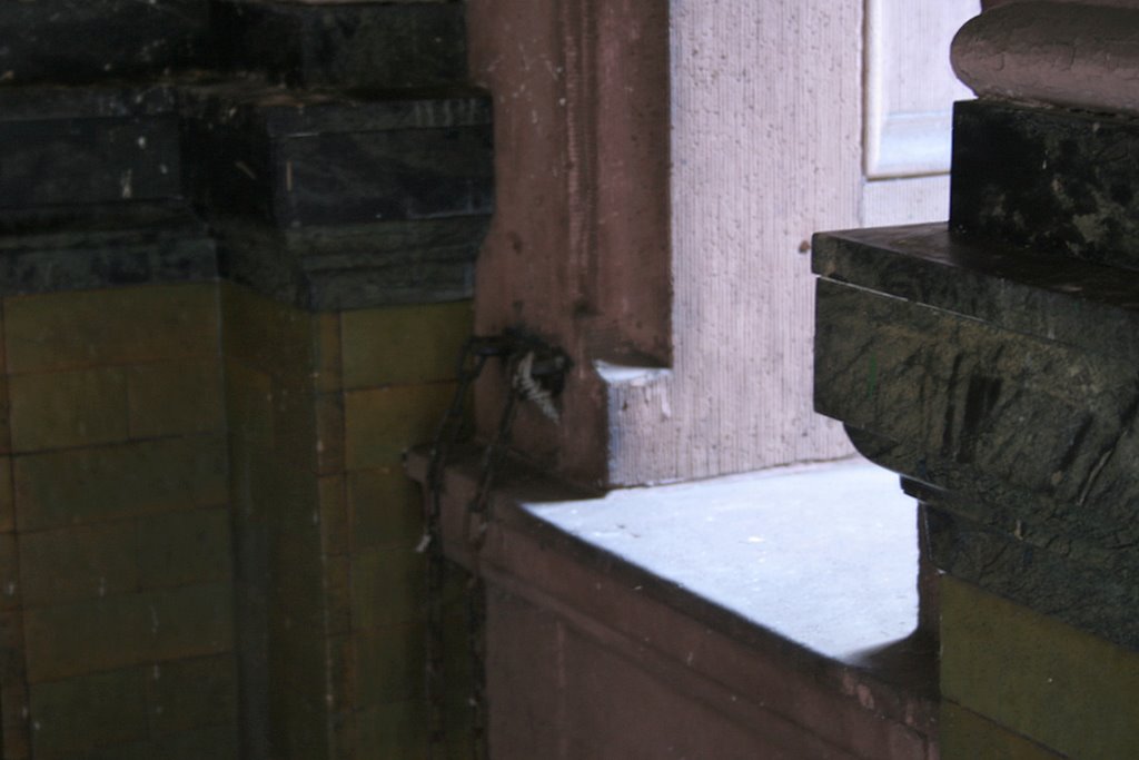
This is the entrance to the Horace Mann Teachers College. Pretty handsome building, wouldn't you say? But look at that bright green metalwork at the sides. Isn't bright green kind of an odd choice for that building?
My son, who lives in Gaylord, Michigan was saying to me how he thought the use of color in New York was pretty unusual. They wouldn't do that in Gaylord, he said. He was talking specifically about the September 23 post, pink building with orange gate, and at the time, I said, well, it's mainly dilapidated buildings and things on the run-down edge of the city that get painted those bright colors. But now I'm wondering. Look at this shot, and this one, and this one. Isn't this funny?
Here we are, walking around wearing black all the time, and our buildings are a riot of slapdash color.
Wednesday, October 11, 2006
Morningside Heights, Broadway Between Tiemann Place and La Salle Street
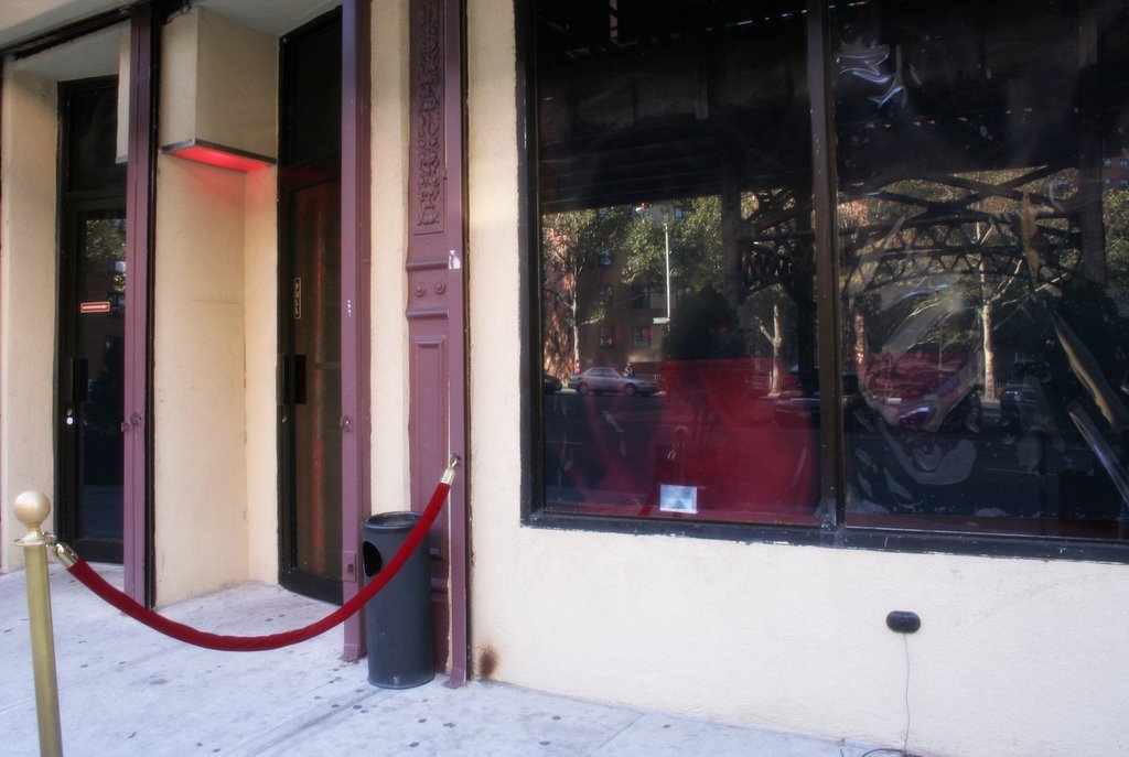
Mary Sargent © 2006 …………… ……………….. click to enlarge
Morningside Heights is defined (roughly) as the area with a northern border at 125th Street, eastern at Morningside Drive, southern at 110th Street and western at Riverside Drive, and it is the home of many institutions, including Columbia University, the Cathedral of Saint John the Divine, Riverside Church, St. Luke's Hospital and Tom's Restaurant. Small but packed. I'm not much taken with it as a neighborhood, but there are many things to see and some nice photographs to be had.
Tiemann Place is one block down from 125th Street, and this little beauty, no institution, is called Sounds. I'm tempted to come back and see how it looks at night. No! Must forge ahead. Many streets to go.
Tuesday, October 10, 2006
West Harlem, 125th Street, Broadway to Hudson River

Mary Sargent © 2006 …………………………….. click to enlarge
This shot was taken through a glass window on the elevated subway stop at 125th Street, which accounts for the splotch and light streaks. I'm thinking these horizontal streaks actually make this a better photo, anyone agree? Or not? But you must enlarge it, or it's not even worth discussing.
125th Street is the southern border of Harlem at this point, so I wasn't actually in Harlem on Saturday. I walked south into Morningside Heights.
Monday, October 09, 2006
Inwood, 215th Street at Broadway
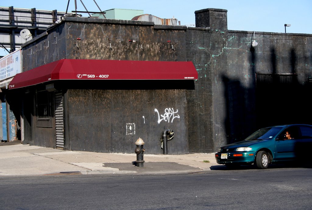
Mary Sargent © 2006 …………………………… click to enlarge
Saturday, I had no plans or errands to do in faraway places, so I just stared at my map and made a decision. Go to 125th Street and walk south into Morningside Heights.
But first a shot right here in my own neighborhood on the way to the subway. This building has been the site of many troublesome clubs, and the club before this one was painted bright turquoise, which you can see though the cracks in this more sombre color. I think I have a shot of it on film when it was turquoise.
Sunday, October 08, 2006
Upper West Side, 76th Street Between Riverside Drive and West End Avenue
Saturday, October 07, 2006
Upper West Side, Riverside Drive Between 75th and 76th Streets
Friday, October 06, 2006
Upper West Side, 75th Street Between Riverside Drive and West End Avenue

Thursday, October 05, 2006
Upper West Side, Riverside Park at 72nd Street
Wednesday, October 04, 2006
Kips Bay, Asser Levy Place Between 23rd and 25th Streets
Mary Sargent © 2006 . . . . . . . . . . . . . . . . . . click to enlarge
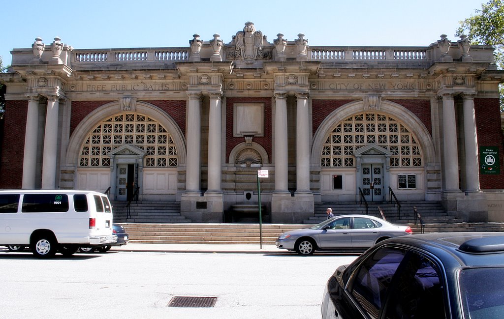
As promised. Enlarge this photo and look at what's incised above the arches:
Free Public Baths …………..City of New York.
I know I claimed that this is not documentary photography, but I think I've broken that rule now and again. This is definitely documentary. I just had to show you what the City of New York built for people who lived in tenements without running water. Actually, it's probably more accurate to say that they built it that way because that was their sense of what public buildings should look like. Whereas, now . . .
The door on the left is for men and the door on the right for women. Or was. I entered through the door for men since it was the open one and found myself in a large open room. It's a community space now with a gym and a swimming pool.
Tuesday, October 03, 2006
Kips Bay, Asser Levy Place Between 23rd and 25th Streets, Looking North
Mary Sargent © 2006 . . . . . . . . . . . . . . . . . . click to enlarge
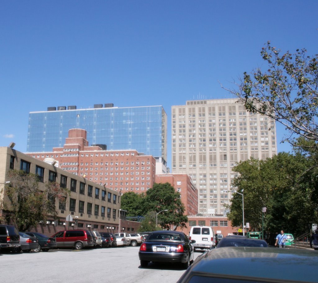
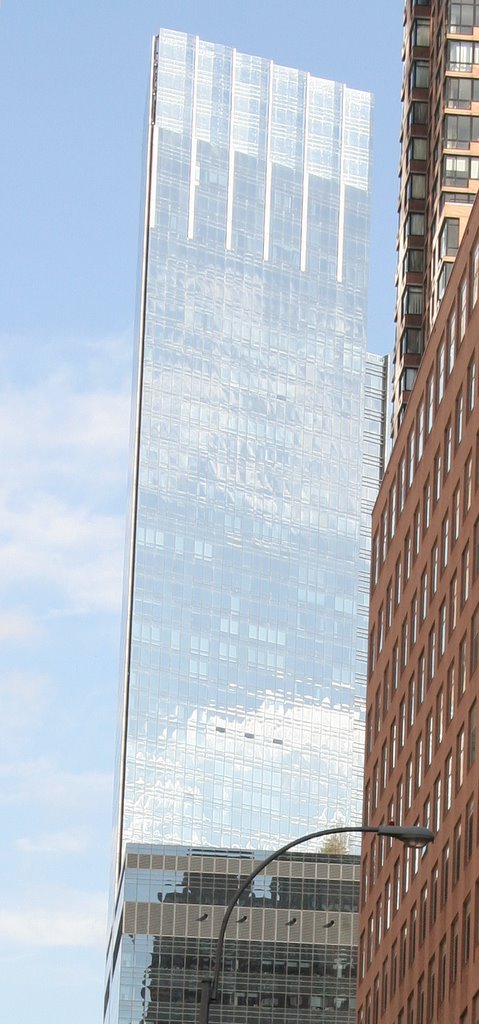
New Area. On Thursday, September 21, I took a lunch time walk, well actually, I took a taxi to 26th and First Avenue, and walked down to Asser Levy Place. I'm trying to use broad categories of neighborhood identification, but Asser Levy Place is east of First Avenue next to the East River and it doesn't belong to any big neighborhood as far as I can tell. I've been consulting Wikipedia when I need help and Wikipedia points to Kips Bay.
So Asser Levy Place is only two blocks long and surrounded by big medical complexes and the Veteran's Administration Medical Center and that lovely reflective building which I couldn't identify. But wait till you see what's on the street to the left of this photograph. That's tomorrow night.
Monday, October 02, 2006
Columbus Circle, 59th Street at Tenth Avenue, Looking East
Sunday, October 01, 2006
Hell's Kitchen, 59th Street Between Eleventh and Tenth Avenues

Mary Sargent © 2006 . . . . . . . . . . . . . . . . . . click to enlarge
Back home after a very fine trip to Michigan. Must diet.
This continues my West Side walk of September 16; I'm walking back from 12th Avenue on 59th Street, and it's feeling a bit less neglected as I go.
Map update. It's coming along.
Tuesday, September 26, 2006
Hell's Kitchen, 59th Street Between Twelfth and Eleventh Avenues
Mary Sargent © 2006 . . . . . . . . . . . . . . . . . . click to enlarge
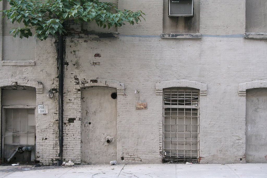
Two things going on for me in this photo. First, I just love how it looks. Second, what the heck is this? What was it made for? After all, there was some attention to detail; it wasn't just slapped together. What happened to it? More and more, I find myself standing there with my mouth agape, figuratively, I hope.
This is my last post until Sunday night. Off to Michigan.
Monday, September 25, 2006
Hell's Kitchen, 58th Street Between Eleventh and Twelfth Avenues

Mary Sargent © 2006 . . . . .click to enlarge
Twelfth Avenue is the farthest west you can walk. Just adjacent is the West Side Highway where there is no walking and just beyond that is the Hudson River, no walking there, either. Over here on the edge, this block seems to have been abandoned and forgotten, a block for Forgotten New York.
Sunday, September 24, 2006
Hell's Kitchen, 58th Street at Eleventh Avenue
Mary Sargent © 2006 . . . . . . . . . . . . . . click to enlarge
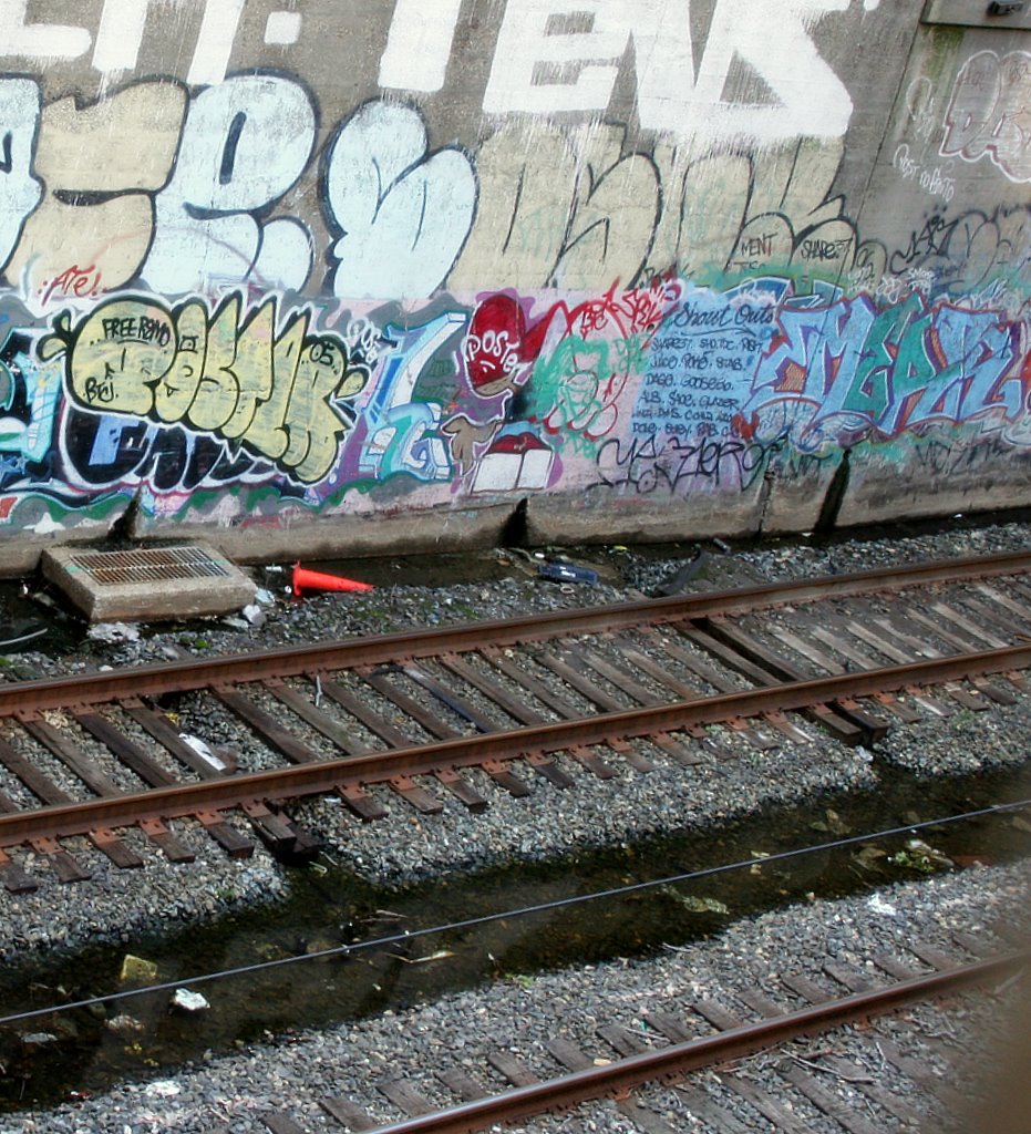
At the end of this block, there is a big chain link fence, and looking through, I could see these tracks below street level. I was able to point my camera through a gap at the end to get this shot. The shadow at the bottom right is from a link in the fence.
I emailed a question to Time Out New York's What's Up With . . . .Department: What's up with the below ground train tracks visible through a chain link fence at 58th Street and Eleventh Avenue? .I'll let you know if they have an answer.
And speaking of Time Out, this week the cover story was Forgotten New York, an article by Kevin Walsh, with one suggested itinerary in each borough. The Manhattan itinerary was in Inwood, and we are directed to the driveway just north of P.S.5. See my post of September 13. But rather than end up in Swindler Cove, which, after all, is new and not forgotten, Kevin directs us to a wood-chipped walkway, which leads to a clearing and Sherman Creek. Who would guess that this unmarked and unremarkable driveway would lead to these destinations? I'll go back.
Saturday, September 23, 2006
Hell's Kitchen, 58th Street Between Tenth and Eleventh Avenues

Friday, September 22, 2006
Hell's Kitchen, 58th Street Between Tenth and Eleventh Avenues
Mary Sargent © 2006 . . . . . . . . . . . . . . . . . . . click to enlarge
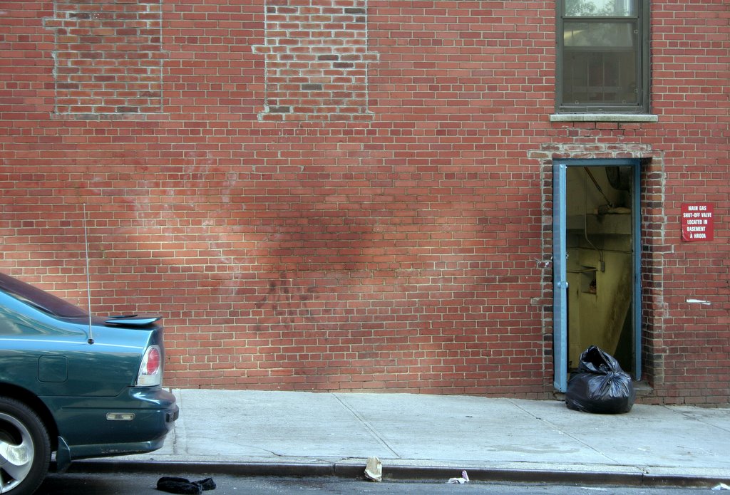
Last Saturday, September 16, I went to visit a friend at Roosevelt Hospital on Tenth Avenue between 58th and 59th Streets. Afterwards I walked 58th Street to the West Side Highway and back on 59th. Enough of nature, away with the vistas! Time for some city color.
Thursday, September 21, 2006
Washington Heights, 187th Street Between Overlook Terrace and Ft. Washington Avenue

Mary Sargent © 2006 . . .. click to enlarge
So, I'm getting a little tired now and glad I'm coming to 187th Street where I can turn and walk one block to the vet's and get my cat food and go home. I didn't realize the block would be vertical.
Mary Sargent © 2006 . . .. click to enlarge
And here's the view from the top. Yes, of course I walked up. Did you think I'd take a cab?
Wednesday, September 20, 2006
Washington Heights, Overlook Terrace Between 186th and 187th Streets
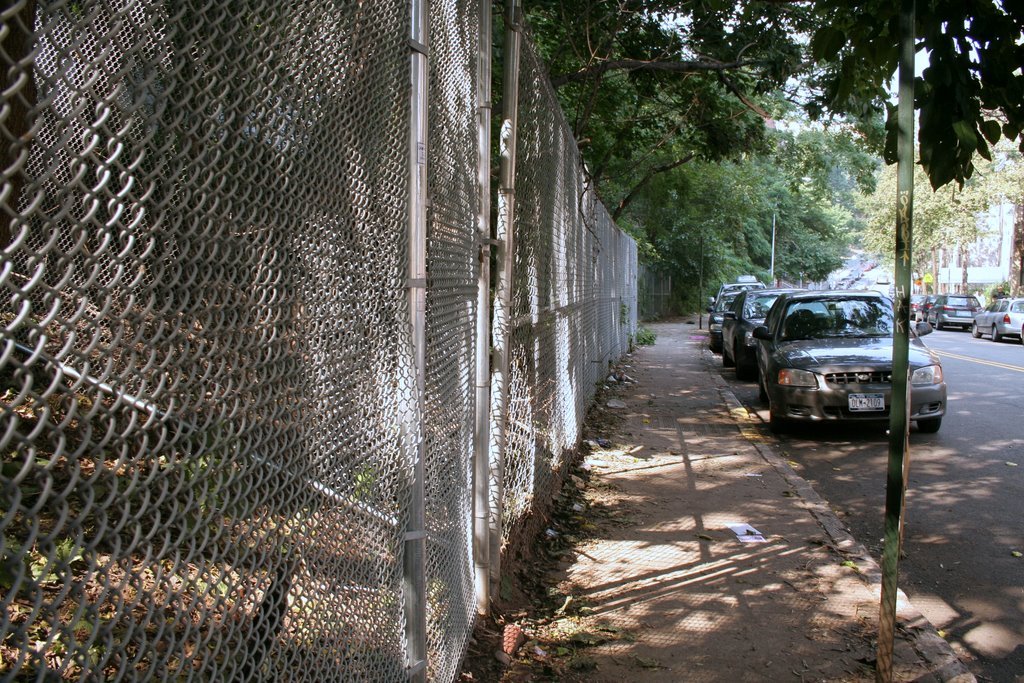
Mary Sargent © 2006 . . . . . . . . . . . . . . . . . .. . click to enlarge
At 184th Street, Overlook Terrace does to Bennett what Bennett does to Broadway: curve off it and then run parallel to it; except Overlook curves back in the opposite direction, so now I'm walking uptown.
This shot evokes for me the kind of day it was, still warm, but fall almost on us. This was Saturday, September 9.
By the way, Overlook Terrace doesn't overlook anything, but is rather overlooked upon as you will see in the next post.
Tuesday, September 19, 2006
Washington Heights, Bennett Avenue Between Broadway and 190th Street
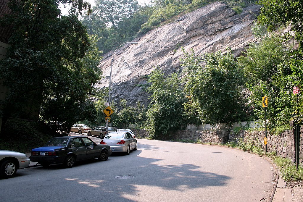
Mary Sargent © 2006 . . . . . . . . . . . . . . .. . . . click to enlarge
Continuing down Broadway, past Nagle, here's Bennett Avenue which curves off Broadway and then runs parallel to it. I was sure surprised to see this wall of rock. You might say stupefied. The rock side of the street is at the southern end of Fort Tryon Park.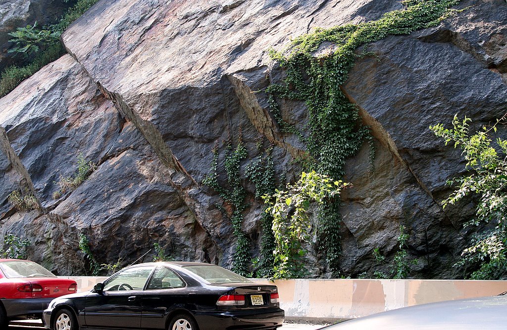
Mary Sargent © 2006 . . . . . . . . . . . . . . .. . . . click to enlarge
And this is farther down the block, between 192nd and 190th Streets. You understand, this is just a regular old Manhattan street with standard apartment buildings on the other side.
Monday, September 18, 2006
Washington Heights, Broadway at Sherman Avenue
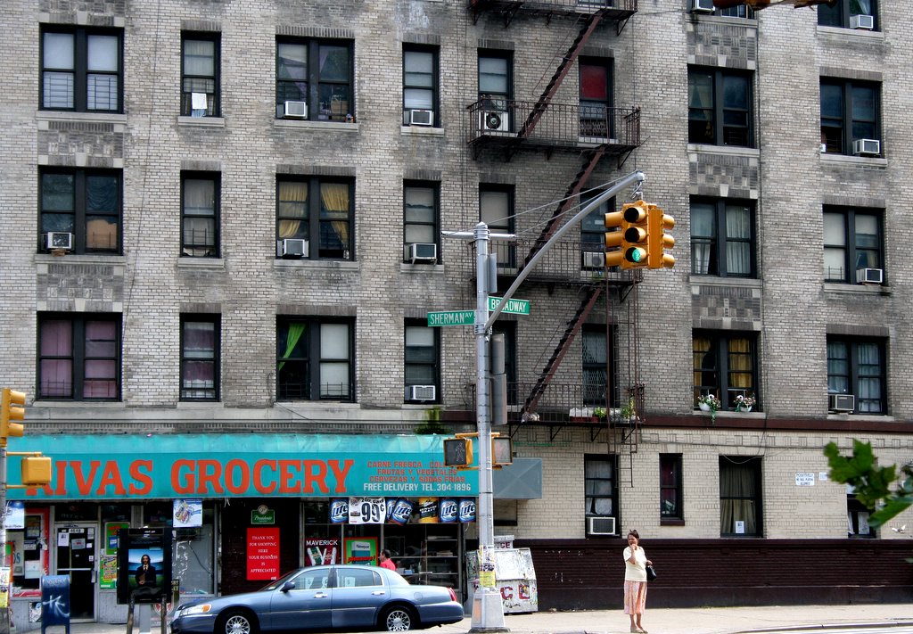
Mary Sargent © 2006 . . . . . . . . . . . . . . . . . click to enlarge
Last Saturday, 9/9, I needed catfood from the vet on 187th Street. A walking opportunity. So I took the A train to Dyckman Street. Yes, one stop! Well, I'm not a good walker, okay? My leg hurts after a time. And I have a 30 day unlimited Metro Card, so the ride was free. Thank you MTA! Awful though the MTA is, you have to give them that. So, I'm walking down Broadway from Dyckman, along Fort Tryon Park, past Thayer, Arden, Dongan and now here's Sherman Avenue where I come to a dead stop. I'm a fool for the sign at Rivas Grocery – love, love love those colors. And that gray building. I took about 15 shots and wanted to post about 8 of them, but I won't. Just one more.
Mary Sargent © 2006 . . . . . . . . . . . . . . . . . click to enlarge
But I'm thinking I want to come back when it snows. Be sure to notice the green curtain in the window above.
Sunday, September 17, 2006
Washington Heights, Fort Washington Avenue Between 160th and 159th Streets
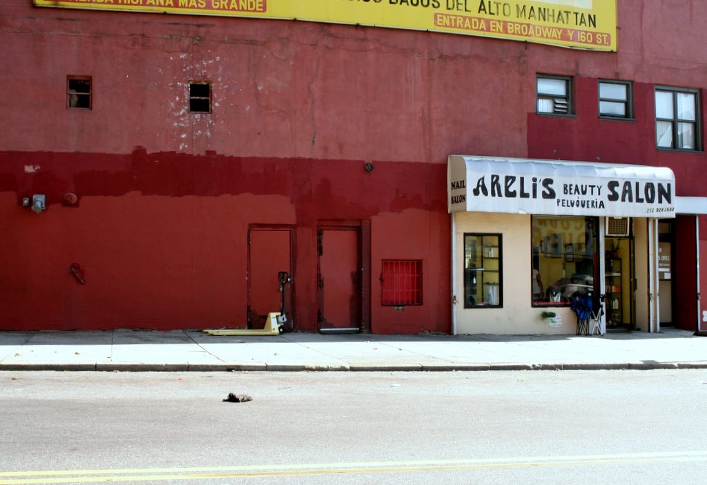
Washington Heights, Fort Washington Avenue Between 165th and 164th Streets

Mary Sargent © 2006 . . . . . . . . .. . . .. . . . . . . click to enlarge
Last Thursday, September 7th, I had a doctor's appointment before work at the big Columbia-Presbyterian complex on Ft. Washington Avenue between 168th and 165th Streets. It was a bright, sunny day and I got out early, so I walked down Ft. Washington to where it curves into Broadway and ends at 159th Street. That stretch of Ft. Washington is filled mostly with big apartment buildings, not too interesting, and I walked a few blocks without taking a single shot. Here's a nice one, though.
Friday, September 15, 2006
Inwood, Tenth Avenue Between 202nd and 203rd Streets

Mary Sargent © 2006 . . . . . . . . . . . . . . .. . . . click to enlarge
And now, back to the waking world. This was one of several arresting sights I saw walking up Tenth Avenue on my way home from my Labor Day walk.
Another was a small live chicken shop where they slaughter them to order and maybe also sell them live if you want to do your own slaughtering. One of the guys came out when he saw me with my camera and wagged his finger at me, no.
Wednesday, September 13, 2006
Inwood, Marginal Street and Swindler Cove
Two things: 1) Delay in plans, so I'm posting this early today, so I can squeeze it in; . 2) I'm repealing the rule of one photo only per day. Today I'm posting three. This is a little story and there's no point in dragging it out 3 days. And besides, I'm getting too far behind.
To remind you, I'm looking for Marginal Street. So I'm walking up Tenth Avenue, first thing I know, I've come to 201st Street. What happened to Marginal? Retracing my steps, I see that the only possibility is a driveway beside a bright new school, PS 5. It's in the right place and it curves around like it's supposed to. Here it is:
Mary Sargent © 2006 . . . . . . . . . . . . . . . . . . click to enlarge
Marginal Street! And here's the school:
Mary Sargent © 2006 . . . . . . . . . . . . . . . . . . click to enlarge
Now around that corner Marginal Street comes to a deadend, as it should, but off to the side, there's a gate, and on the gate is a sign that says Swindler Cove, and inside the gate is a beautiful five acre park with winding paths and plantings and benches and water and marina and boathouse and no one was there but me. It was like a dream. One of those dreams where you discover a whole new wonderful room in your apartment that you never knew was there.
Mary Sargent © 2006 . . . . . . click to enlarge
For less dreamy information about Swindler Cove, you may visit Harlem OneStop. Regarding the name itself, Swindler Cove, I hate to tell you that the maintenance man I ran into told me that it was named for a Mr. Swindler who donated some of the land. Should we believe him?
Later I looked for Marginal Street on the web and found this on oldstreets.com:
Exterior Street or Marginal Street. These are generic or default names for the first street inland from the waterfront. They had a legal significance in that all land and structures shoreward of the such a street fell under the jusridiction of the Department of Docks. In 1935 the Exterior Street along the East River from 63rd to 80th Streets was renamed Marie Curie Avenue. It is now part of Franklin D. Roosevelt Drive.
Guess what? Inwood also has an Exterior Street.
Tuesday, September 12, 2006
Inwood, Dyckman Street at Tenth Avenue
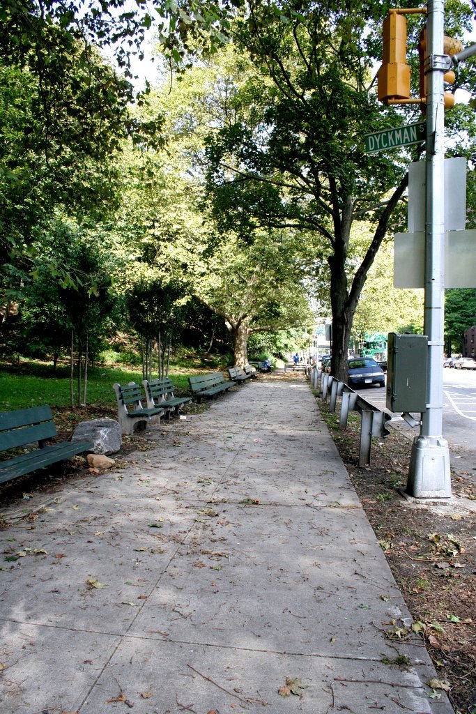
Mary Sargent © 2006 . . . . . click to enlarge
Last Monday, Labor Day, I went in search of Marginal Street.
Marginal Street, according to my map, edges off Tenth Avenue close to where Tenth ends at Dyckman, and then curves down and ends at the Harlem River, roughly parallel to the Harlem River Drive. (You really need your maps for this.) The name of the street evokes thoughts of a dusty unpaved street just off Tobacco Road. I couldn't wait to see it.
And so I walked east on Dyckman until it joined the Harlem River Drive and I could go no farther. This is Dyckman Street looking west. The morning was lovely and warm, but a touch of fall was in the air, and it was one of those moments when I knew that summer was ending and I couldn't stand it and I couldn't believe it was gone already and I knew that pretty soon I'd eat my last peach, and yet . . . and yet, well, dammit, fall is a pretty terrific season, too. The conflict! (And now, writing this, it has become fall. It's 61° and dark at 8 o'clock. )
And now I'm going to have to leave you midadventure. I'll be gone for two nights. Next post Friday night.
Monday, September 11, 2006
Sunday, September 10, 2006
Inwood, 207th Street at University Heights Bridge
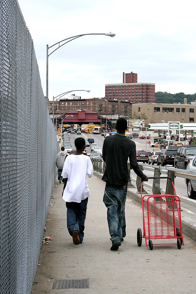
Saturday, September 09, 2006
Inwood, Harlem River From the University Heights Bridge at 207th Street
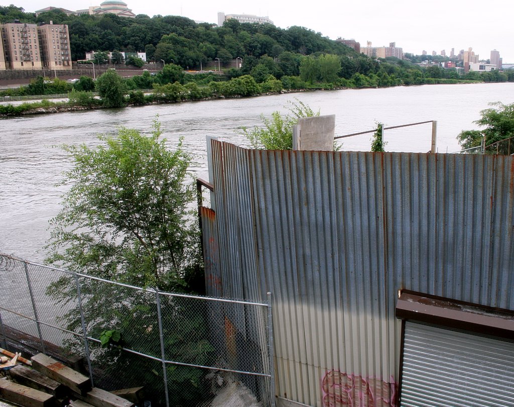
Mary Sargent © 2006 . . . . . . . . . . . . . . . . . . click to enlarge
Every now and then it's good to look at water and remember we live on an island.
This is a shot of the Harlem River taken from the University Heights Bridge at 207th Street. There's a pedestrian walkway along the south side of the bridge which is pretty heavily trafficked. Surprised me. I walked only halfway over. I know my boundaries. You know that's the Bronx over there, don't you?
For anyone who wants to see the bridge itself, here's a link. Here's another.
Friday, September 08, 2006
Inwood, 207th Street Between Ninth Avenue and the Harlem River
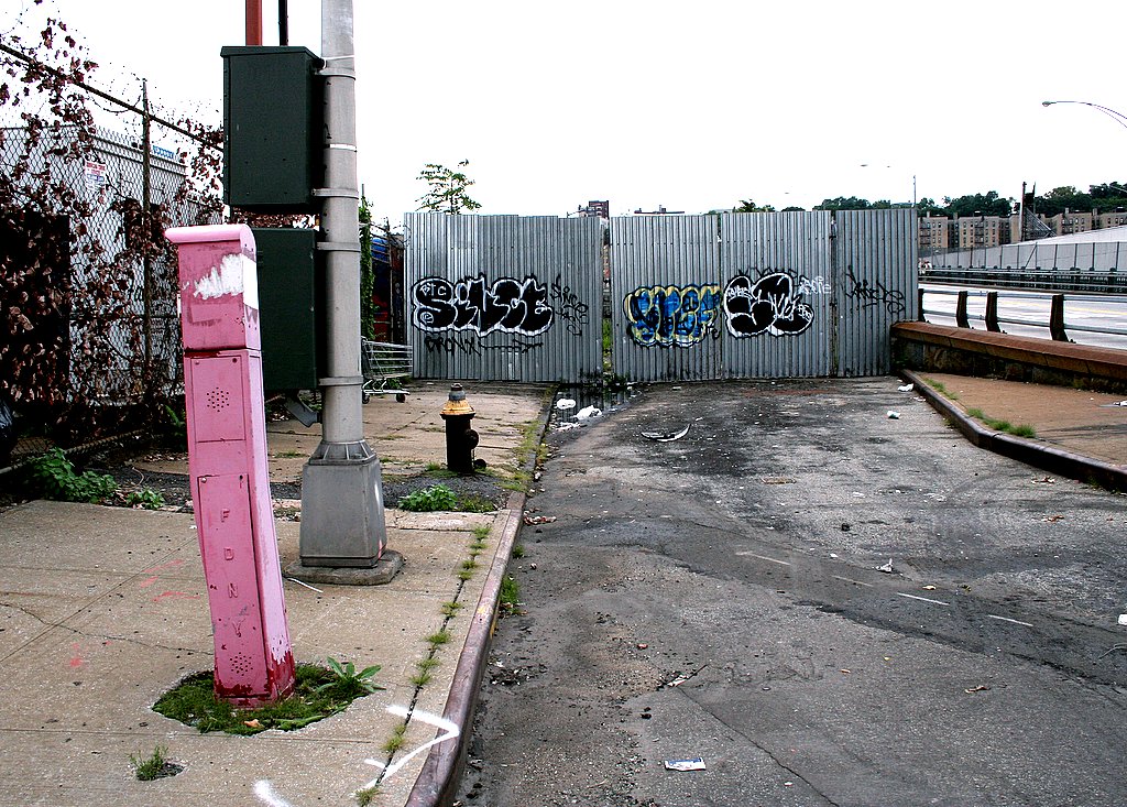
Mary Sargent © 2006 . . . . . . . . . . . . . . . . . . click to enlarge
My notes say this is 207th Street, but something's not making sense. I'll check it next time I'm over there, but for now let's just say it's the end of, well, it's the end of something, that's for sure.
That leaning pink post is what made me do it. You can see that, right? The whole thing reminds me of paintings by Carroll Dunham.
To the right is the entrance to the University Heights Bridge, which 207th Street leads into. See the problem?
Thursday, September 07, 2006
Inwood, 208th Street

Mary Sargent © 2006 . . . . . . .. . . .. . . . click to enlarge
Forgot to say last night that this group of Inwood photos was shot last Sunday, Labor Day Weekend. I went in search of 208th Steet, a little bitty half block on my map. Here it is, just beyond that last yellow pipe, the entirety, every bit of 208th Street. (The pavement in front of the pipes is the end of Ninth Avenue.) I'm not making this up. There's a very official street sign behind me as I'm taking this shot. Just over the shrubs lies the Harlem River.
Wednesday, September 06, 2006
Inwood, Ninth Avenue at 208th Street

Mary Sargent © 2006 . . . . . . . . . .. . . . . . . . . click to enlarge
Ninth Avenue begins downtown at 14th Street, and later becomes Columbus Avenue, which ends at 110th Street. Completely ridiculously, it picks up again at 201st street (that's 91 blocks!) and stumbles along 7 blocks until it comes to an ignominous end right here. Do we call this an avenue?
However, I love these streets on the edges; they're my favorite places to walk. There's such surprising color and design in these very practical, and very unbeautiful places. Can you believe that arrow? By the way, the sign on the building says New York City Transit Authority, Ninth Avenue Unit Shop.
I also did a tight shot of the doorway, which I can't resist showing you, thus violating two rules with one photo.
1. Show only one photo per day. 2. Show one view only per site.
Mary Sargent © 2006 . . . . . . . . . . . . . . . . . . .click to enlarge
There.
Tuesday, September 05, 2006
Inwood, 215th Street at Tenth Avenue

Monday, September 04, 2006
Upper West Side, Amsterdam Avenue at 83rd Street
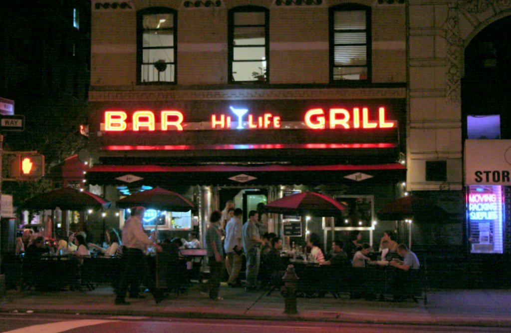
Mary Sargent © 2006
After work on Thursday, I met Barbara at her apartment on West 88th Street and we walked down Amsterdam looking for a place to eat. Finally settled on Fred’s. It was all right, we sat outside on a nice cool evening. It’s getting dark earlier and as we sat there, the street lights came on, giving a little kick of excitement. The margarita helped. I had a pulled pork sandwich and Barbara had a Cobb salad. Meanwhile, across the street . . . were they having more fun at the Hi Life? The cocktail glass flashed off and on.
Later, while I was inside, Barbara entertained herself by watching the goodlooking shirtless man in the apartment above the Hi Life make up his bed.
Sunday, September 03, 2006
Gramercy, 24th Street Between Second and Third Avenues

Mary Sargent © 2006
Same site. You may be reminded of the photograph posted on July 26 which featured reflections on a car top.
Saturday, September 02, 2006
Gramercy, 24th Street Between Second and Third Avenues

Mary Sargent © 2006
Thursday finally the sun came out, thank god! In the afternoon I stood at the office window to let it shine on me. Depression, begone! Now all is well. I went for a walk at lunchtime while the sun was still very weak, but at least it was evident. See the shadow underneath the car?
Please remember to enlarge; otherwise that guy on the bike hardly registers. Just click.
Friday, September 01, 2006
West Village, Cornelia Street
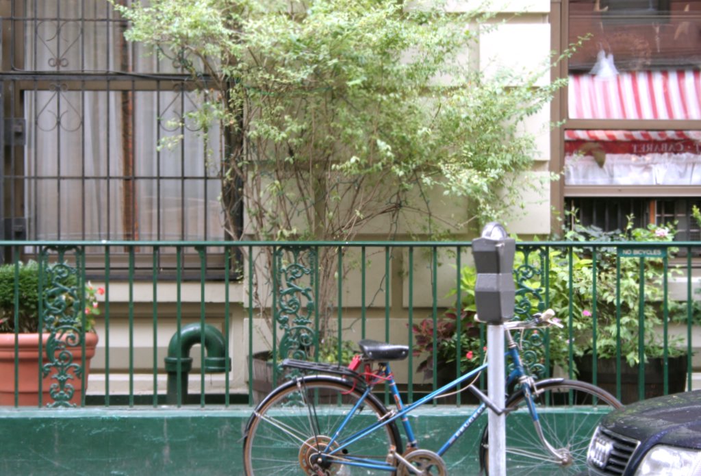
Mary Sargent © 2006
And here’s the last one on Cornelia Street. Three is enough for one little block! And this one is almost too pretty to put up. Or maybe it is too pretty. Anyone think it’s too pretty?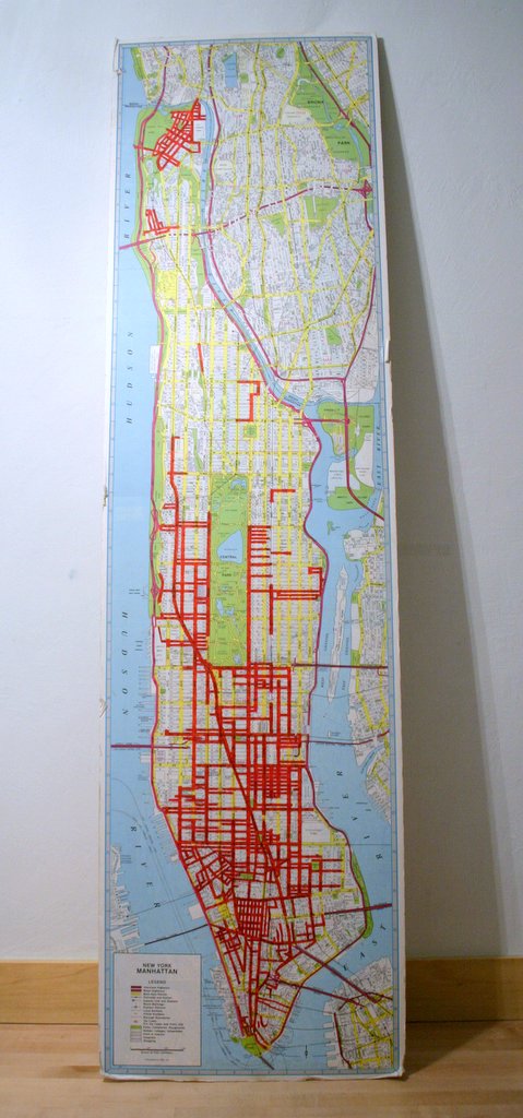
Mary Sargent © 2006
Map update. I am making progress and I must say my ambition intensifies. Sometimes I stand in front of the map lusting for more streets. How can I walk more, more? Now I’m trying to fill in the square around my office bounded by 23rd Street, Fifth Avenue, 34th Street and the East River. I should have finished that by October 1. At the same time, I want a LONG street, like Eleventh Avenue between 23rd Street and 65th, or Broadway between 180 and 120 Streets. Not so likely. Not by October 1.